Intelligent Remote Sensing
Visit the IRSC Lab website
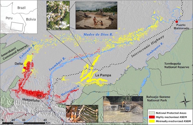
The overarching goals of this project are (1) to transform our understanding of and ability to characterize land-use change dynamics due to artisanal mining and other causes of deforestation at multiple spatial scales, exploiting recent advances in very-high resolution remote sensing and machine learning, and (2) to use these advances to provide guidance for effective environmental governance and policy construction in conjunction with local stakeholders.
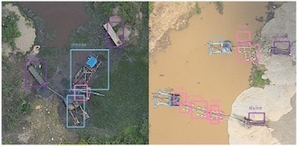
We seek to construct an accurate, scalable methodology capable of identifying gradients of intensive land-use change from deforestation and mining through information fusion and deep learning of moderate and VHR optical, C-band radar backscatter, and UAV RGB data products.
Analytics of Acoustic Emission Data
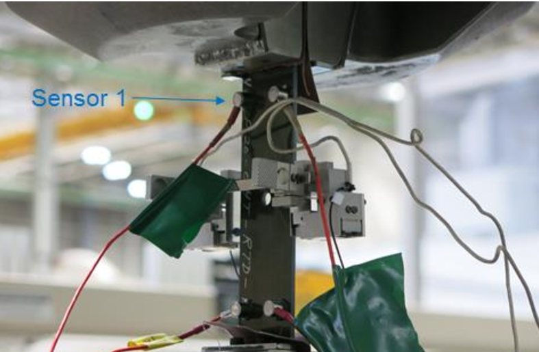

Stress due to mechanical loads and other factors can significantly damage the internal structure of composite materials, such as those used in modern aircraft fuselage. The main goal of this project was to develop methods to classify various types of damage, such as matrix cracking and fiber failure, from acoustic signals emitted by the composite material. Our proposed method for classifying acoustic emission signals applies machine learning to a feature called the frequency distribution function. The method is demonstrated on composite laminates specimens and compared to observations from in-situ testing inspection techniques.
Sponsor: The Boeing Company, 2015 – 2016
Statistical Image Analysis for 3D Imaging
This project is devoted to the study of statistical methods of performance assessment of SSA systems that rely on optical and IR imaging and associated technologies. We focus on two critical applications: 1) the assessments of space-object surface integrity, 3D shape, and material composition via ground-based polarimetric and spectral solar-reflectance (BRDF) measurements; and 2) space-based 3D localization and tracking of space debris via rotating PSF imaging. The PI for this project is Prof. Sudhakar Prasad in the University of New Mexico.
Sponsor: Air Force Office of Scientific Research, 2015 – 2018
Fusion and Compression of LiDAR and Hyperspectral Data
LiDAR and hyperspectral image data offer a vast amount of information that can completely reconstruct surfaces and generate reflections. The main goals of this project are to develop effective methods for compression of LiDAR and hyperspectral data, while enabling accurate object and target recognition from the data ensemble. The project also involves significant collaboration with researchers at The Boeing Company, Seattle, WA.
Sponsors: The Boeing Company and the National Geospatial-Intelligence Agency, 2012 – 2013
Challenging Ocular Image Recognition
The main objective of this project is to develop new exploitation and analysis methods for ocular recognition to deliver robust performance under challenging imaging conditions. The team involves researchers from Carnegie Mellon University, West Virginia University and Wake Forest University.
Sponsor: Intelligence Advanced Research Projects Activity, 2010 – 2012